Greetings! How are you today? Have you missed me?
First of all, thank you so much to everyone still using this map. If it weren't for your continued support, I might not have continued working on it... and yes, it’s been over a year already!
I understand that some of you might be getting bored, or maybe you're not as interested in the Pj Indo Map because it's not a representation of a real Indonesian location (please don’t be confused!). It’s more like a parallel world of Indonesia, situated in the Great Sahara Desert in Africa (lol).
Despite this, the Pj Indo Map offers some unique advantages. First, it is one of the add-on maps that doesn’t require any map DLCs. Second, it has a fairly detailed level of development, even though it’s a fictional map. Third, it can be combined with almost all other map add-ons, which is quite rare, especially for Indonesian map mods.
Finally, the new map update has arrived: Pj Indo Map v2.7 Beta. Why beta? Unfortunately, this update is still incomplete. I had promised that this would be a major overhaul, but only part of it has been completed. It's disappointing, even for me.
Full Changelog:
- Compatible with Euro Truck Simulator 2 patch 1.38 and above
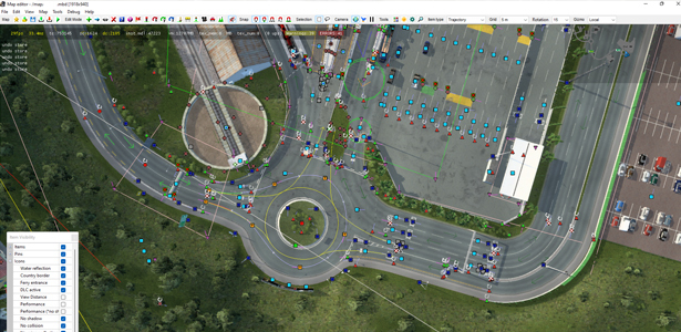
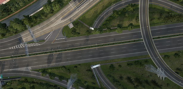
- MAJOR REBUILD over the western part of the southern region/island
- Improved two existing cities on the northern island with new map assets
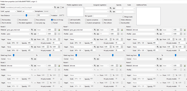
- Added a lot of new map assets and models (will be used for my next real Indonesia Map – spoiler!)
- Fixed some bugs
You are welcome to modify or use any map assets/models from the Pj Indo Map. All .scs files are unlocked so that you can access them for free. However, please make sure to credit the author (Septian_MR) in your mod if you modify or use the assets/models.
The Pj Indo Map is located in the southern part of Europe (below Italy). Look for a long-dotted white line (ferry line) heading south.
Regarding the traffic type on this map: “Why does this map feel like Europe? The roads are all right-hand traffic, completely different from Indonesia?”
Well, the Pj Indo Map features two islands/regions with different traffic types. The northern island (from Teluk Muara to Tanjung Banaran) uses left-hand traffic, similar to Indonesia. Meanwhile, the southern island, the largest region (from Hajisari to Serayu), uses right-hand traffic.
I recommend starting on the northern island (British version) by ferry, as it feels more like Indonesia.
Download the Pj Indo Map Here
Disclaimer: This mod is only available on the following websites: ShareMods and Pj Indo Official Blog. If you found it on another site, it might be outdated, reuploaded by someone else without my knowledge, or even contain malware.
For more information, visit the Pj Indo Official Blog.
Enjoy the map, and please don't forget to share it with others!
Best regards, Septian_MR

